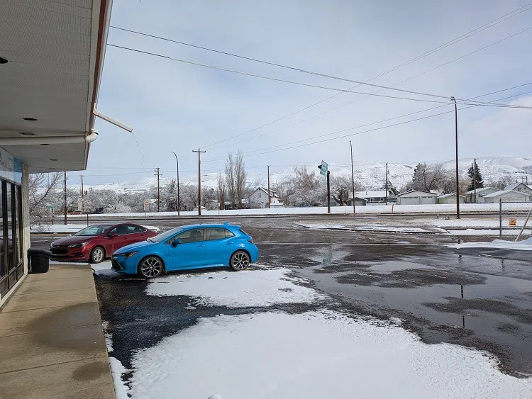
We all know that the snow is possible anytime before the May Long Weekend and did we ever get it on Tuesday night (April 1).
Environment and Climate Change Canada did expect a significant amount of snow just south of the Drumheller area with snowfall warnings earlier on Tuesday. Late in the overnight hours, Environment and Climate Change Canada did issue a snowfall warning for the Drumheller area. According to Stingray Weather Specialist, Brandon Houck, this winter weather event was expected and the storm moved further north than expected. “It was pretty much the track of the system that developed in Calgary. It was a very convective system that developed that was actually a thunderstorm in Calgary yesterday afternoon. It was a very slow moving band of snow that actually got a little further north than expected as well.” Houck shared that forecasters believed that the heaviest bands of snow was anticipated between Drumheller and Brooks, near the Hussar / Gem area. It looks like the swath of snow was much larger than expected.
The expectation was the system to be more of a rain/snow event but Houck shares that the system didn’t move to quickly over our area. “This thing was such a slow moving system, it all went to snow yesterday evening. It started off as rain in the Calgary area and as it lagged on into the night, the temperatures dropped low enough to change it to very heavy wet snow.”
Since it was such heavy snow it should benefit our farmers admits Houck. “It is definitely very good for farming across southern portions of Alberta. Some areas are going to get some more snow tonight, especially west of us, going to get another 15 to 30 centimetres.”
The totals in the area have not been reported as of yet by Environment and Climate Change Canada but Houck measured 11 centimetres just west of Brooks and believes more was accumulated north and west of Brooks.


Comments